
Атагай topographic map
Interactive map
Click on the map to display elevation.
About this map
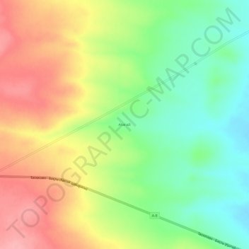
Name: Атагай topographic map, elevation, terrain.
Location: Атагай, Урджарский район, East Kazakhstan Region, Kazakhstan (46.73136 82.39206 46.77136 82.43206)
Average elevation: 1,949 ft
Minimum elevation: 1,775 ft
Maximum elevation: 2,149 ft