
Furnace topographic map
Interactive map
Click on the map to display elevation.
About this map
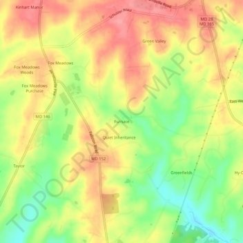
Name: Furnace topographic map, elevation, terrain.
Location: Furnace, Harford County, Maryland, 21084, United States (39.56350 -76.51524 39.60350 -76.47524)
Average elevation: 577 ft
Minimum elevation: 417 ft
Maximum elevation: 702 ft