
South Mountain topographic map
Interactive map
Click on the map to display elevation.
About this map
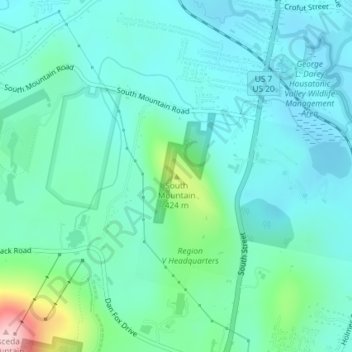
Name: South Mountain topographic map, elevation, terrain.
Average elevation: 1,106 ft
Minimum elevation: 945 ft
Maximum elevation: 1,795 ft
Other topographic maps
Click on a map to view its topography, its elevation and its terrain.
Camp Merrill
United States > Massachusetts > Berkshire County > Pittsfield
Camp Merrill, Pittsfield, Berkshire County, Massachusetts, 01201, United States
Average elevation: 1,158 ft