
Dunnell topographic map
Interactive map
Click on the map to display elevation.
About this map
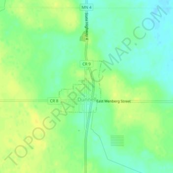
Name: Dunnell topographic map, elevation, terrain.
Location: Dunnell, Martin County, Minnesota, United States (43.55735 -94.78037 43.56540 -94.77125)
Average elevation: 1,322 ft
Minimum elevation: 1,286 ft
Maximum elevation: 1,355 ft
Other topographic maps
Click on a map to view its topography, its elevation and its terrain.
Fairmont
United States > Minnesota > Martin County
Fairmont, Martin County, Minnesota, 56031, United States
Average elevation: 1,184 ft
Sherburn
United States > Minnesota > Martin County
Sherburn, Martin County, Minnesota, United States
Average elevation: 1,289 ft