
Penns Neck topographic map
Interactive map
Click on the map to display elevation.
About this map
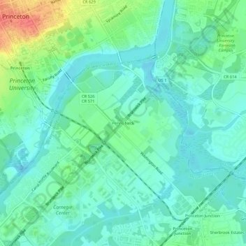
Name: Penns Neck topographic map, elevation, terrain.
Location: Penns Neck, Mercer County, New Jersey, 08537, USA (40.31233 -74.65682 40.35233 -74.61682)
Average elevation: 95 ft
Minimum elevation: 43 ft
Maximum elevation: 243 ft