
Атырау topographic map
Interactive map
Click on the map to display elevation.
About this map
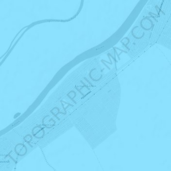
Name: Атырау topographic map, elevation, terrain.
Location: Атырау, Атырау Г.А., Atyrau Region, Kazakhstan (46.95780 51.76908 46.99780 51.80908)
Average elevation: -75 ft
Minimum elevation: -82 ft
Maximum elevation: -66 ft