
Candelero Arriba topographic map
Interactive map
Click on the map to display elevation.
About this map
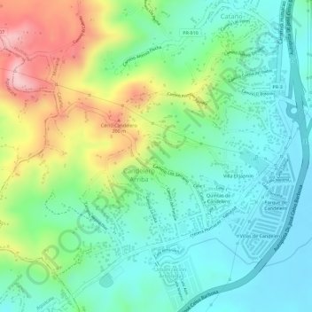
Name: Candelero Arriba topographic map, elevation, terrain.
Location: Candelero Arriba, Humacao, Puerto Rico, United States (18.09436 -65.84831 18.11879 -65.82119)
Average elevation: 289 ft
Minimum elevation: 46 ft
Maximum elevation: 761 ft