
Kulana topographic map
Interactive map
Click on the map to display elevation.
About this map
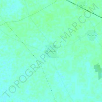
Name: Kulana topographic map, elevation, terrain.
Location: Kulana, Budhlada Tahsil, Mansa District, Punjab, India (29.86496 75.56096 29.90496 75.60096)
Average elevation: 725 ft
Minimum elevation: 712 ft
Maximum elevation: 732 ft