
Hoke topographic map
Interactive map
Click on the map to display elevation.
About this map
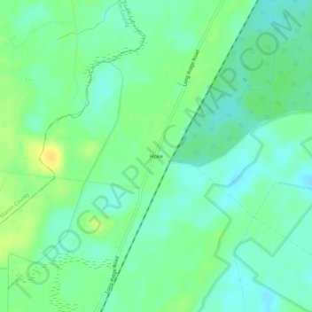
Name: Hoke topographic map, elevation, terrain.
Location: Hoke, Washington County, North Carolina, United States (35.71350 -76.83522 35.75350 -76.79522)
Average elevation: 46 ft
Minimum elevation: 13 ft
Maximum elevation: 92 ft
Other topographic maps
Click on a map to view its topography, its elevation and its terrain.
Scuppernong
United States > North Carolina > Washington County
Scuppernong, Washington County, North Carolina, United States
Average elevation: 10 ft