
Ava topographic map
Interactive map
Click on the map to display elevation.
About this map
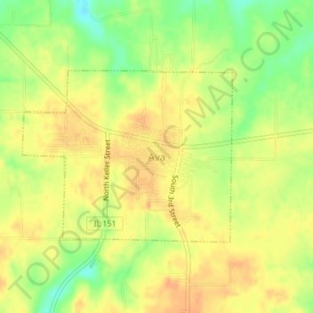
Name: Ava topographic map, elevation, terrain.
Location: Ava, Jackson County, Illinois, United States (37.88103 -89.50954 37.89586 -89.48654)
Average elevation: 581 ft
Minimum elevation: 505 ft
Maximum elevation: 623 ft