
Crimora topographic map
Interactive map
Click on the map to display elevation.
About this map
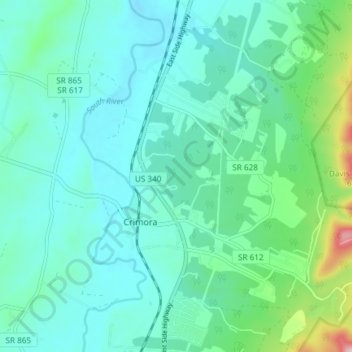
Name: Crimora topographic map, elevation, terrain.
Location: Crimora, Augusta County, Virginia, 24431, United States (38.13235 -78.85223 38.19078 -78.82890)
Average elevation: 1,342 ft
Minimum elevation: 1,165 ft
Maximum elevation: 2,142 ft
Other topographic maps
Click on a map to view its topography, its elevation and its terrain.
South River
United States > Virginia > Augusta County > Crimora
South River, Crimora, Augusta County, Virginia, 22980, United States
Average elevation: 1,529 ft