
Hukkeri topographic map
Interactive map
Click on the map to display elevation.
About this map
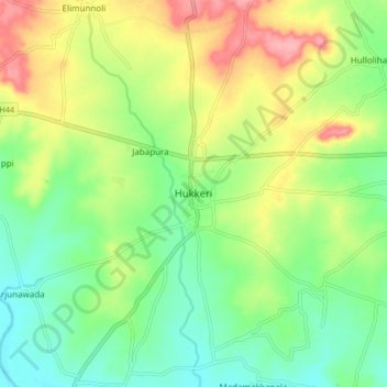
Name: Hukkeri topographic map, elevation, terrain.
Location: Hukkeri, Hukkeri taluk, Karnataka, 591309, India (16.19086 74.56298 16.27086 74.64298)
Average elevation: 2,162 ft
Minimum elevation: 2,024 ft
Maximum elevation: 2,372 ft