
Kentwood topographic map
Interactive map
Click on the map to display elevation.
About this map
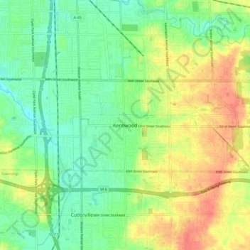
Name: Kentwood topographic map, elevation, terrain.
Location: Kentwood, Kent County, Michigan, 49548, United States (42.82947 -85.68475 42.90947 -85.60475)
Average elevation: 715 ft
Minimum elevation: 643 ft
Maximum elevation: 814 ft