
Duluth topographic map
Interactive map
Click on the map to display elevation.
About this map
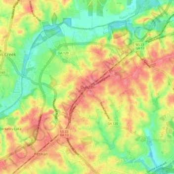
Name: Duluth topographic map, elevation, terrain.
Location: Duluth, Gwinnett County, Georgia, 30096, United States (33.96286 -84.18410 34.04286 -84.10410)
Average elevation: 997 ft
Minimum elevation: 873 ft
Maximum elevation: 1,115 ft