
Gerlach topographic map
Interactive map
Click on the map to display elevation.
About this map
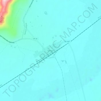
Name: Gerlach topographic map, elevation, terrain.
Location: Gerlach, Washoe County, Nevada, 89412, United States (40.63181 -119.37626 40.67181 -119.33626)
Average elevation: 3,963 ft
Minimum elevation: 3,842 ft
Maximum elevation: 4,954 ft
According to the United States Census Bureau, the Gerlach CDP has a total area of 3.1 square miles (8.0 km2), all land. Its elevation is 3,944 ft (1,202 m). Gerlach is approximately 100 miles (160 km) north of Reno, Nevada.