
Kiwanis Park topographic map
Interactive map
Click on the map to display elevation.
About this map
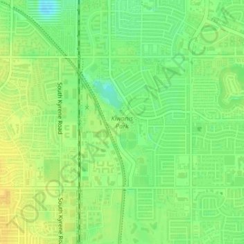
Name: Kiwanis Park topographic map, elevation, terrain.
Average elevation: 1,191 ft
Minimum elevation: 1,145 ft
Maximum elevation: 1,224 ft
Other topographic maps
Click on a map to view its topography, its elevation and its terrain.
Moeur Park
United States > Arizona > Maricopa County > Tempe
Moeur Park, Tempe, Maricopa County, Arizona, United States
Average elevation: 1,188 ft
Tempe
United States > Arizona > Maricopa County > Tempe
Tempe, Maricopa County, Arizona, 85281, United States
Average elevation: 1,266 ft