
Andale topographic map
Interactive map
Click on the map to display elevation.
About this map
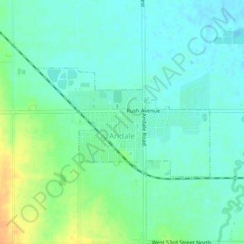
Name: Andale topographic map, elevation, terrain.
Location: Andale, Sedgwick County, Kansas, United States (37.78604 -97.64138 37.79805 -97.61719)
Average elevation: 1,444 ft
Minimum elevation: 1,411 ft
Maximum elevation: 1,512 ft
Sedgwick County trails, hiking, mountain biking, running and outdoor activities
Other topographic maps
Click on a map to view its topography, its elevation and its terrain.
Valley Center
United States > Kansas > Sedgwick County > Valley Center > Valley Center
Average elevation: 1,362 ft