
Finley topographic map
Interactive map
Click on the map to display elevation.
About this map
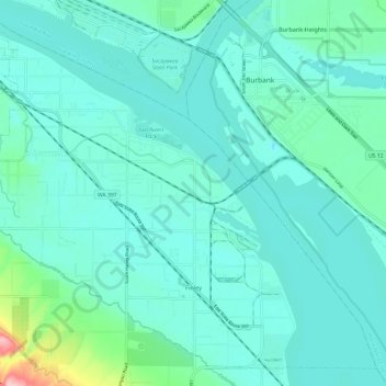
Name: Finley topographic map, elevation, terrain.
Location: Finley, Benton County, Washington, United States (46.13875 -119.09703 46.21429 -118.97710)
Average elevation: 377 ft
Minimum elevation: 295 ft
Maximum elevation: 863 ft