
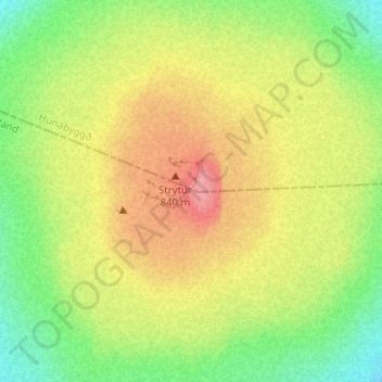
Shield volcano topographic map
Interactive map
Click on the map to display elevation.
About this map
Name: Shield volcano topographic map, elevation, terrain.
Location: Shield volcano, Húnabyggð, Northwestern Region, Iceland (64.81440 -19.56963 64.81450 -19.56953)
Average elevation: 2,543 ft
Minimum elevation: 2,395 ft
Maximum elevation: 2,700 ft