
Sreekandapuram topographic map
Interactive map
Click on the map to display elevation.
About this map
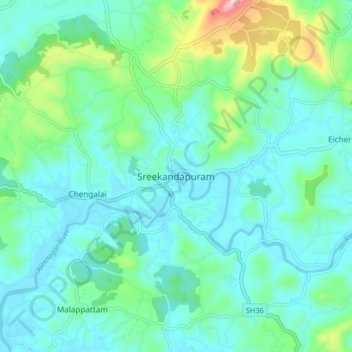
Name: Sreekandapuram topographic map, elevation, terrain.
Average elevation: 230 ft
Minimum elevation: 3 ft
Maximum elevation: 1,161 ft
Other topographic maps
Click on a map to view its topography, its elevation and its terrain.
Taliparamba
India > Kerala > Taliparamba
Taliparamba, Kannur district, Kerala, 670141, India
Average elevation: 118 ft