
Mendonza topographic map
Interactive map
Click on the map to display elevation.
About this map
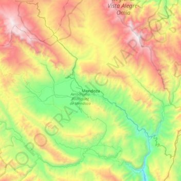
Name: Mendonza topographic map, elevation, terrain.
Location: Mendonza, Province of Rodríguez de Mendoza, Amazonas, Peru (-6.55594 -77.64224 -6.23594 -77.32224)
Average elevation: 6,991 ft
Minimum elevation: 3,862 ft
Maximum elevation: 11,437 ft