
Tizi Ouzou topographic map
Interactive map
Click on the map to display elevation.
About this map
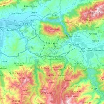
Name: Tizi Ouzou topographic map, elevation, terrain.
Location: Tizi Ouzou, Tizi Ouzou District, Tizi Ouzou, Algeria (36.64372 3.97618 36.75585 4.17462)
Average elevation: 873 ft
Minimum elevation: 102 ft
Maximum elevation: 2,589 ft