
Adamello-Presanella Alps topographic map
Interactive map
Click on the map to display elevation.
About this map
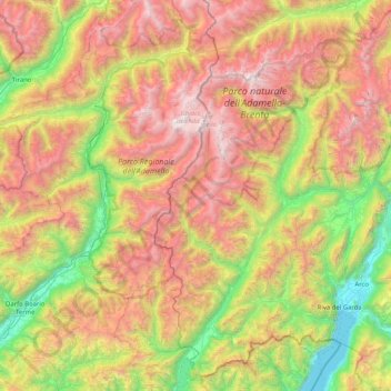
Name: Adamello-Presanella Alps topographic map, elevation, terrain.
Average elevation: 4,980 ft
Minimum elevation: 190 ft
Maximum elevation: 11,424 ft