
Kampung Pulau Gajah topographic map
Interactive map
Click on the map to display elevation.
About this map
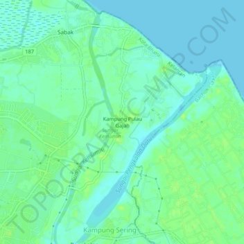
Name: Kampung Pulau Gajah topographic map, elevation, terrain.
Location: Kampung Pulau Gajah, Kota Bharu, Kelantan, 16100, Malaysia (6.13834 102.30909 6.17834 102.34909)
Average elevation: 20 ft
Minimum elevation: 0 ft
Maximum elevation: 39 ft