
Turayf topographic map
Interactive map
Click on the map to display elevation.
About this map
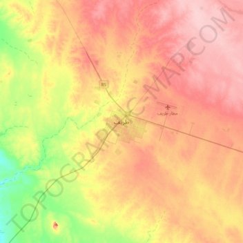
Name: Turayf topographic map, elevation, terrain.
Location: Turayf, Northern Borders Province, Saudi Arabia (31.51259 38.50155 31.83259 38.82155)
Average elevation: 2,733 ft
Minimum elevation: 2,480 ft
Maximum elevation: 2,930 ft
Other topographic maps
Click on a map to view its topography, its elevation and its terrain.
Arar
Saudi Arabia > Northern Borders Province
Arar, Northern Borders Province, 73241, Saudi Arabia
Average elevation: 1,650 ft