
Dartford topographic map
Interactive map
Click on the map to display elevation.
About this map
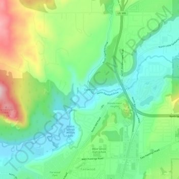
Name: Dartford topographic map, elevation, terrain.
Location: Dartford, Spokane County, Washington, 99218-1929, USA (47.76461 -117.43689 47.80461 -117.39689)
Average elevation: 1,818 ft
Minimum elevation: 1,545 ft
Maximum elevation: 2,372 ft