
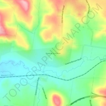
Gowrie Junction topographic map
Interactive map
Click on the map to display elevation.
About this map
Name: Gowrie Junction topographic map, elevation, terrain.
Location: Gowrie Junction, Queensland, Australia (-27.51019 151.87305 -27.47019 151.91305)
Average elevation: 1,729 ft
Minimum elevation: 1,529 ft
Maximum elevation: 2,051 ft