
Satsuma topographic map
Interactive map
Click on the map to display elevation.
About this map
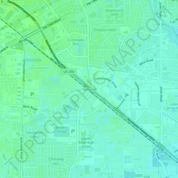
Name: Satsuma topographic map, elevation, terrain.
Location: Satsuma, Harris County, Texas, 77065:77429, United States (29.88328 -95.62328 29.92328 -95.58328)
Average elevation: 121 ft
Minimum elevation: 108 ft
Maximum elevation: 135 ft