
Gemeinde Sankt Aegyd am Neuwalde topographic map
Interactive map
Click on the map to display elevation.
About this map
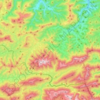
Name: Gemeinde Sankt Aegyd am Neuwalde topographic map, elevation, terrain.
Average elevation: 3,278 ft
Minimum elevation: 1,565 ft
Maximum elevation: 5,774 ft