
Silver Valley topographic map
Interactive map
Click on the map to display elevation.
About this map
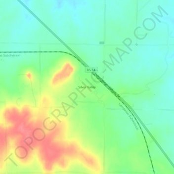
Name: Silver Valley topographic map, elevation, terrain.
Location: Silver Valley, Coleman County, Texas, United States (31.93653 -99.56618 31.97653 -99.52618)
Average elevation: 1,998 ft
Minimum elevation: 1,909 ft
Maximum elevation: 2,149 ft
Other topographic maps
Click on a map to view its topography, its elevation and its terrain.
Goldsboro
United States > Texas > Coleman County
Goldsboro, Coleman County, Texas, United States
Average elevation: 1,959 ft
Glen Cove
United States > Texas > Coleman County
Glen Cove, Coleman County, Texas, United States
Average elevation: 2,031 ft
Valera
United States > Texas > Coleman County > Valera
Valera, Coleman County, Texas, United States
Average elevation: 1,847 ft
Hords Creek
United States > Texas > Coleman County > Coleman
Hords Creek, Coleman, Coleman County, Texas, 76834, United States
Average elevation: 1,706 ft