
Brande topographic map
Interactive map
Click on the map to display elevation.
About this map
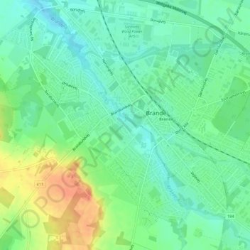
Name: Brande topographic map, elevation, terrain.
Location: Brande, Ikast-Brande Municipality, Denmark (55.93146 9.10153 55.95466 9.15534)
Average elevation: 180 ft
Minimum elevation: 128 ft
Maximum elevation: 276 ft