
Ani topographic map
Interactive map
Click on the map to display elevation.
About this map
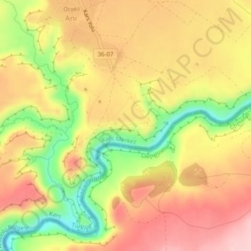
Name: Ani topographic map, elevation, terrain.
Average elevation: 4,774 ft
Minimum elevation: 4,413 ft
Maximum elevation: 5,036 ft
The city is located on a triangular site, visually dramatic and naturally defensive, protected on its eastern side by the ravine of the Akhurian River and on its western side by the Bostanlar or Tzaghkotzadzor valley. The Akhurian is a branch of the Araks River and forms part of the currently closed border between Turkey and Armenia. The site is at an elevation of around 1,340 meters (4,400 ft).