
Feldkirchen bei Graz topographic map
Interactive map
Click on the map to display elevation.
About this map
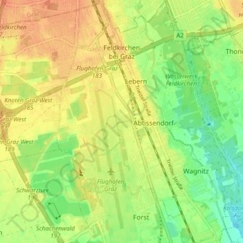
Name: Feldkirchen bei Graz topographic map, elevation, terrain.
Location: Feldkirchen bei Graz, Graz-Umgebung, Styria, 8073, Austria (46.97528 15.42467 47.02151 15.48107)
Average elevation: 1,099 ft
Minimum elevation: 1,033 ft
Maximum elevation: 1,148 ft