
Baruta topographic map
Interactive map
Click on the map to display elevation.
About this map
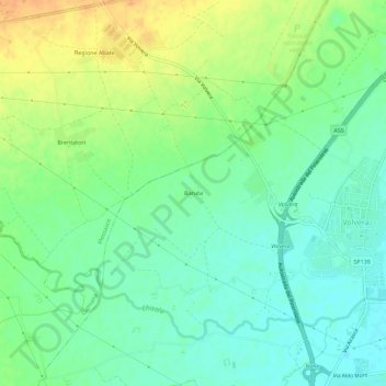
Name: Baruta topographic map, elevation, terrain.
Location: Baruta, TO, Piemont, 10045, Italy (44.93949 7.46728 44.97949 7.50728)
Average elevation: 866 ft
Minimum elevation: 820 ft
Maximum elevation: 932 ft