
Oldambt topographic map
Interactive map
Click on the map to display elevation.
About this map
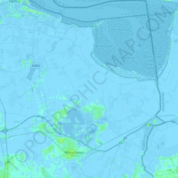
Name: Oldambt topographic map, elevation, terrain.
Location: Oldambt, Groningen, Netherlands, The Netherlands (53.11083 6.90330 53.33321 7.22750)
Average elevation: -3 ft
Minimum elevation: -23 ft
Maximum elevation: 23 ft