
Pyla topographic map
Interactive map
Click on the map to display elevation.
About this map
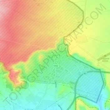
Name: Pyla topographic map, elevation, terrain.
Location: Pyla, Larnaca District, South Cyprus, 6306, Cyprus (34.99386 33.67184 35.03386 33.71184)
Average elevation: 272 ft
Minimum elevation: 39 ft
Maximum elevation: 535 ft