
Charleville topographic map
Interactive map
Click on the map to display elevation.
About this map
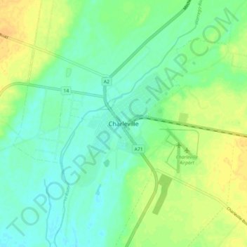
Name: Charleville topographic map, elevation, terrain.
Location: Charleville, Queensland, 4470, Australia (-26.44627 146.20204 -26.36627 146.28204)
Average elevation: 988 ft
Minimum elevation: 955 ft
Maximum elevation: 1,033 ft