
Magallanes topographic map
Interactive map
Click on the map to display elevation.
About this map
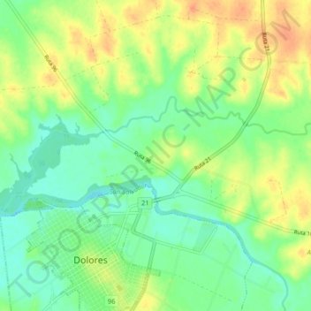
Name: Magallanes topographic map, elevation, terrain.
Location: Magallanes, Soriano, Uruguay (-33.52028 -58.24011 -33.49523 -58.16059)
Average elevation: 56 ft
Minimum elevation: -3 ft
Maximum elevation: 131 ft