
Nosara topographic map
Interactive map
Click on the map to display elevation.
About this map
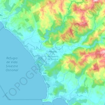
Name: Nosara topographic map, elevation, terrain.
Average elevation: 387 ft
Minimum elevation: 0 ft
Maximum elevation: 1,985 ft
Other topographic maps
Click on a map to view its topography, its elevation and its terrain.
Tortuguero
Costa Rica > Cantón Nicoya > Quebrada Honda
Tortuguero, Quebrada Honda, Cantón Nicoya, Provincia Guanacaste, 50204, Costa Rica
Average elevation: 243 ft