
Hagan topographic map
Interactive map
Click on the map to display elevation.
About this map
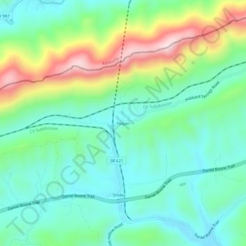
Name: Hagan topographic map, elevation, terrain.
Location: Hagan, Lee County, Virginia, USA (36.68425 -83.30657 36.72425 -83.26657)
Average elevation: 1,742 ft
Minimum elevation: 1,319 ft
Maximum elevation: 2,743 ft