
East Columbia topographic map
Interactive map
Click on the map to display elevation.
About this map
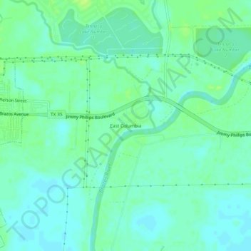
Name: East Columbia topographic map, elevation, terrain.
Location: East Columbia, Brazoria County, Texas, 77486, USA (29.12136 -95.63578 29.16136 -95.59578)
Average elevation: 33 ft
Minimum elevation: 13 ft
Maximum elevation: 56 ft