
Stony Point topographic map
Interactive map
Click on the map to display elevation.
About this map
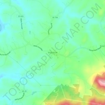
Name: Stony Point topographic map, elevation, terrain.
Location: Stony Point, Albemarle County, Virginia, USA (38.09291 -78.39140 38.13291 -78.35140)
Average elevation: 499 ft
Minimum elevation: 335 ft
Maximum elevation: 922 ft