
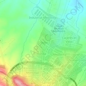
Gredos topographic map
Interactive map
Click on the map to display elevation.
About this map
Name: Gredos topographic map, elevation, terrain.
Location: Gredos, Cáceres, Extremadura, Cáceres (39.49355 -6.37107 39.49919 -6.36494)
Average elevation: 1,184 ft
Minimum elevation: 1,027 ft
Maximum elevation: 1,467 ft