
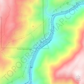
Merlin topographic map
Interactive map
Click on the map to display elevation.
About this map
Name: Merlin topographic map, elevation, terrain.
Location: Merlin, Plumas County, California, USA (39.86822 -121.38691 39.90822 -121.34691)
Average elevation: 3,150 ft
Minimum elevation: 1,578 ft
Maximum elevation: 4,921 ft