
Åndalsnes topographic map
Interactive map
Click on the map to display elevation.
About this map
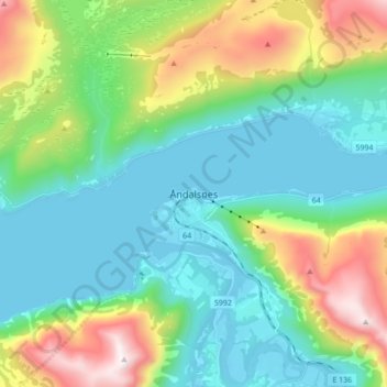
Name: Åndalsnes topographic map, elevation, terrain.
Location: Åndalsnes, Rauma, Møre og Romsdal, 6310, Norway (62.52781 7.64918 62.60781 7.72918)
Average elevation: 1,079 ft
Minimum elevation: -43 ft
Maximum elevation: 4,029 ft