
Fort Revere topographic map
Interactive map
Click on the map to display elevation.
About this map
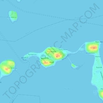
Name: Fort Revere topographic map, elevation, terrain.
Location: Fort Revere, Plymouth County, Massachusetts, 02045, USA (42.28621 -70.92782 42.32621 -70.88782)
Average elevation: 3 ft
Minimum elevation: 0 ft
Maximum elevation: 118 ft