
Hua Dong topographic map
Interactive map
Click on the map to display elevation.
About this map
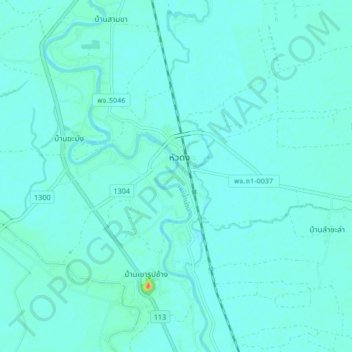
Name: Hua Dong topographic map, elevation, terrain.
Location: Hua Dong, Phichit Province, Thailand (16.30286 100.35893 16.38286 100.43893)
Average elevation: 115 ft
Minimum elevation: 95 ft
Maximum elevation: 262 ft