
El Carmen topographic map
Interactive map
Click on the map to display elevation.
About this map
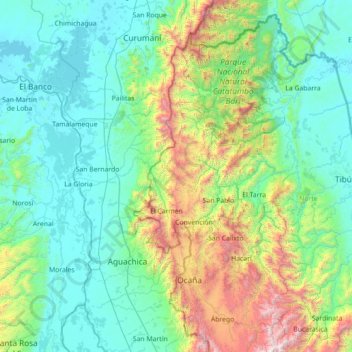
Name: El Carmen topographic map, elevation, terrain.
Location: El Carmen, Occidente, Norte de Santander, Colombia (7.94731 -74.10820 9.34731 -72.70820)
Average elevation: 1,732 ft
Minimum elevation: 59 ft
Maximum elevation: 9,892 ft