
Brazil topographic map
Interactive map
Click on the map to display elevation.
About this map
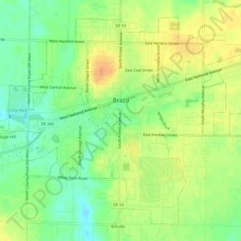
Name: Brazil topographic map, elevation, terrain.
Location: Brazil, Clay County, Indiana, United States (39.50397 -87.14804 39.53678 -87.09854)
Average elevation: 666 ft
Minimum elevation: 604 ft
Maximum elevation: 725 ft