
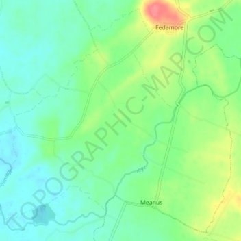
Rathmore topographic map
Interactive map
Click on the map to display elevation.
About this map
Name: Rathmore topographic map, elevation, terrain.
Average elevation: 184 ft
Minimum elevation: 118 ft
Maximum elevation: 335 ft
Other topographic maps
Click on a map to view its topography, its elevation and its terrain.
Mortgage
Ireland > County Limerick > The Municipal District of Adare — Rathkeale
Mortgage, Rathmore, The Municipal District of Adare — Rathkeale, County Limerick, Munster, Ireland
Average elevation: 197 ft